Leaflet
© OpenStreetMap contributors
Wed 2 - 6 AM
Wed
2
Thu
3
Fri
4
Sat
5
Sun
6
Mon
7
Tue
8
Wed
9
Thu
10
Fri
11
Sat
12
Sun
13
Mon
14
Tue
15
Wed
16
Developed with
Download App
Go Premium
Login
Menu
Weather radar
Satellite
Radar+
Wind
Rain, thunder
Temperature
Hurricane tracker
Clouds
Waves
Rain accumulation
Altitude
Pressure
Particles animation
+
-
3D
j
L
&
Q
l
t
ECMWF
9km
GFS
22km
ICON
13km
1 more...
kt
0
5
10
20
30
40
60
WIPO
Gatot Subrato Airport
Rwys, info
METAR
Webcams
NOTAM
+
−
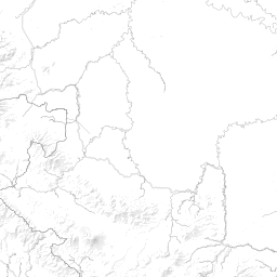
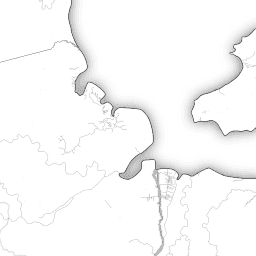
Gatot Subrato Airport
Lat -4.392, lon 104.401, small airport
Elevation: 450ft
Icao: WIPO
Mag declination: 0°E
Google Maps,
Wikipedia article
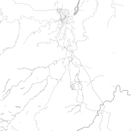
Runways
03 - 21
ASP
6.890 x 125 ft
( 2.100 x 38 m )
Incorrect information? Correct it.
Time info
Timezone: Asia/Jakarta, UTC +07:00
Sunrise: 6:05 (23:05Z)
sunset: 18:09 (11:09Z)
dusk: 18:29 (11:29Z)
end of VFR day
raw mode
METAR
TAF
METEOGRAM
1h forecast
Based on ECMWF model - Updated: undefined
raw mode
NOTAMs
Click on any NOTAM to mark it as read
m
k
j
www.windy.com