Leaflet
© OpenStreetMap contributors
Tue 8 - 12 AM
Tue
8
Wed
9
Thu
10
Fri
11
Sat
12
Sun
13
Mon
14
Tue
15
Wed
16
Thu
17
Fri
18
Sat
19
Sun
20
Mon
21
Tue
22
Developed with
Download App
Go Premium
Login
Menu
Weather radar
Satellite
Radar+
Wind
Rain, thunder
Temperature
Hurricane tracker
Clouds
Waves
Rain accumulation
Altitude
Pressure
Particles animation
+
-
3D
j
L
&
Q
l
t
ECMWF
9km
GFS
22km
ICON
13km
7 more...
kt
0
5
10
20
30
40
60
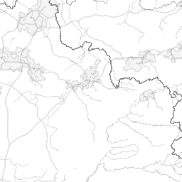
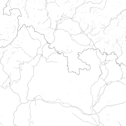
EDRP
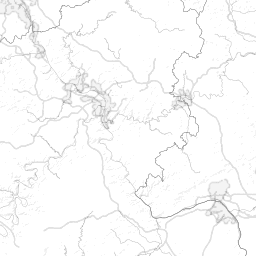
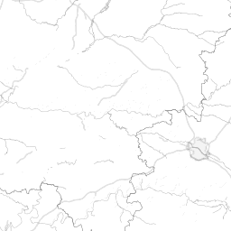
Pirmasens-Pottschütthöhe Airfield
Rwys, info
METAR
Webcams
NOTAM
+
−
Pirmasens-Pottschütthöhe Airfield
Lat 49.264, lon 7.488, small airport
Elevation: 1247ft
Icao: EDRP
Mag declination: 3°E
Google Maps,
Wikipedia article,
Web pages
Runways
04 - 22
ASPH
2.625 x 65 ft
( 800 x 20 m )
Incorrect information? Correct it.
Time info
Timezone: Europe/Berlin, UTC +02:00
Sunrise: 6:53 (04:53Z)
sunset: 20:12 (18:12Z)
dusk: 20:44 (18:44Z)
end of VFR day
raw mode
METAR
No METAR found for this airport
TAF
No TAF found for this airport
METEOGRAM
1h forecast
Based on ECMWF model - Updated: undefined
raw mode
NOTAMs
Click on any NOTAM to mark it as read
m
k
j
www.windy.com